Last updated on December 1st, 2021
Maps can be beautiful, and the good ones are great investments. However, the fascinating thing about maps is how they offer portals into history – the rise and fall of cities, the promise of riches through trade, and the charting of war and adventure. Further, maps depict symbols that represent the connection of regions, themes and objects. As per scholars’ reinterpretations of ancient cartography, history will continue to be rewritten using maps. Moreover, the current unparalleled volume of global travel is contributing to an escalating interest in map collecting. Here are 50 interesting facts about maps.
1. Cartography refers to the study of maps and mapmaking, whereas the person who makes maps is known as a cartographer.
2. Although today North may be at the top of the maps, that was not always the case. During the Middle Ages, the majority of western maps placed east at the top instead. The reason being, in Latin, the word of the east is ”oriens.” Therefore, to hold the map properly, they had to ”orient” it to ensure that the east is east. It happens to be the origin of the word orientation.
3. In 1798, James Rennell drew the first map of Africa showcasing the massive Mountains of Kong. It was enormous that it stretched thousands of miles west to east across Africa. He produced some of the first accurate maps of Bengal at one inch to five miles as well as accurate outlines of India and served as Surveyor General of Bengal. Rennell has been called the Father of Oceanography.
4. However, the Mountains of Kong did not exist; he had made a mistake. Nonetheless, the Mountains of Kong were placed on African maps for the next 100 years.
5. There are two Norths; magnetic north and true north. Magnetic North is the direction that the north end of a compass needle points to while true North is the course of the geographic North pole.
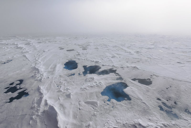
6. The magnetic north pole can move up to twenty-five miles every year and has been known to swap places sometimes with the south pole. Worry not for the last time this happened was approximately 780,000 years ago. And do you know what will happen once the reversal happens in your life time, if it did? If you will look at the compass needle, it will tell you that North is in Antarctica and South is somewhere near Canada. Moreover, the animals that use Earth’s magnetic field for navigation—including birds, salmon, and sea turtles, could get lost during their routine journeys.
7. The first map (the Waldseemüller map or Universalis Cosmographia) to custom the name America was made by Martin Waldseemuller, a German cartographer, in 1507. Also, it is among the most expensive maps in the world; the US Library of Congress purchased it for $10 million in 2013.
8. The oldest sphere on record dates back to around 1,500 and is engraved on the surface of an ostrich egg. It also marks the first time the idiom ”here be dragons” appeared on a map. It was written in Latin’ Latin’ hic sunt dracones.”
9. In 44 CE, Pliny the Elder, an ancient Roman thinker, wrote that all creatures on the land had a counterpart in the ocean. For that purpose, ancient cartographers would draw sea-monsters on their maps to appear like aquatic versions of accustomed land animals such as sea cows, sea pigs, sea serpents. If you see a seahorse or sea lion, you know how they got their names!
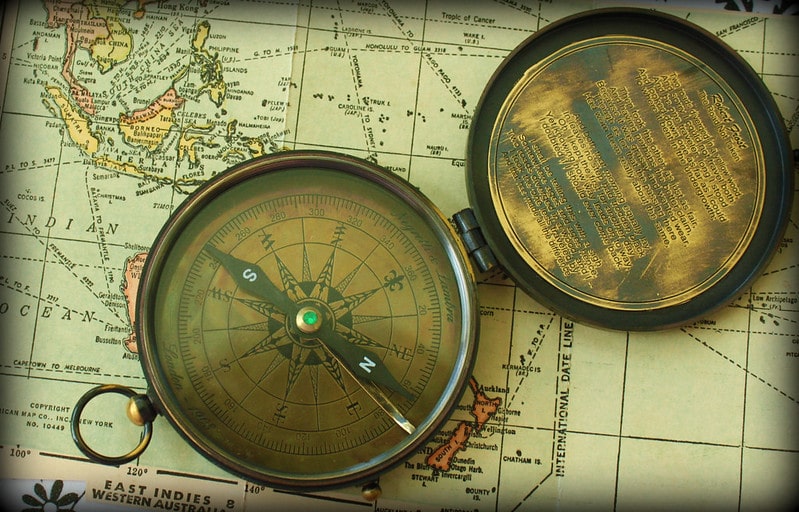
10. During WWII, the British game company known as Waddington PLC changed several monopoly games by sticking silk maps into the game boards. Also, they shuffled real money in with fake ones and added new playing pieces like a working compass. The unique games were then shipped to war prisoner camps to assist prisoner’s escape.
11. During medieval times in Europe, most maps of the world referred to as mappae Mundi were used by nobles and royals to display their wealth rather than as navigation tools since they were expensive to create by hand. Only about 1,100 mappae Mundi survive from that period.
12. Not all places on the map exist. In the past, mapmakers had limited resources; hence they made some mistakes when creating maps, as the case for Mountains of Kong on the African maps.
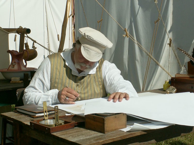
13. Surprisingly, modern cartographers often include fake towns and places into their maps on purpose. The fake towns are called phantom settlements, paper towns or bunnies. Therefore, when they come across a map with a similar phony town, they will know it is a copy!
14. The towns of Goblu and Beatosu are examples of paper towns, although not necessarily a copyright trap. The towns appeared on some official state maps of Michigan in the 1970s. Goble was a reference to the familiar Michigan chant Go Blue and Beatosu referring to Michigan’s rival, Beat Ohio State University.
15. Google has created at least one paper town in Argleton, England. It was discovered on Google Maps in 2008, although the location was not a town but empty land. Later, they removed it, and no one knows if it was a copyright trap.
16. Maps have existed since the times of cave paintings. In the French caves of Lascaux, there is a map of stars (shows three bright stars known today as the Summer Triangle) that are believed to be approximately 16,500 years old.
17. If you think ancient maps were nothing compared to current maps, you may need to look at the Turin Papyrus Map, a map of Egypt created about 1160 BC. It is mainly considered the first road map since it shows where people could pass around river bends.
18. By the 12th century, maps had developed into what experts refer to as modern maps. The first printed map is in an encyclopedia known as Rudimentum Novitiorum.
19. Interestingly, maps always have different projections since the Earth is spherical, whereas the maps are flat. Hence, there is no accurate map of the world, so the predictions change depending on its purpose.
20. Nothing is where you are supposed to be — the world we are familiar with is the Mercator Projection invented in the mid-16th century by Gerardus Mercator. Primarily we use it in classrooms and world atlases for almost 500 years, but the projection was designed to guide marine navigation.
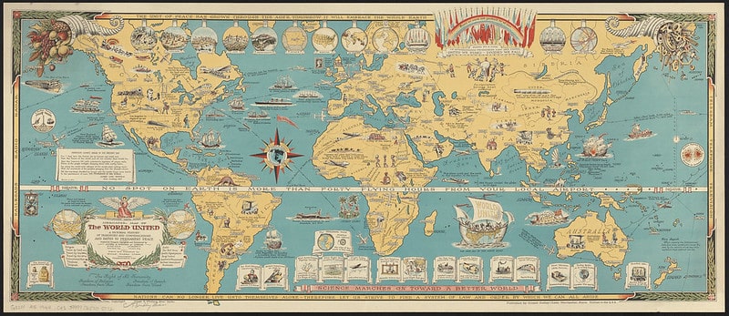
21. The Mercator projections have some shortcomings. It is inaccurate for direction, meaning land area and distance are often distorted. The forecast shows Europe and North America bigger than actual size, and Greenland and Africa appear identical, even though Africa is fourteen times larger.
22. The first known map for putting North on top and South at the bottom is from Korea. It was created in 1402 by Kwon Kun, an astronomer and the map is known as the Kangnido map. Experts tend to think that the North was placed on top because Koreans associated looking North with looking at the emperor.
23. America derived its name from Amerigo Vespucci, a cartographer. Interestingly, Amerigo was cousin to Simonetta, who is thought to have been Sandro Botticelli’s muses.
24. In London, there was a cholera outbreak in the mid-19th century. John Snow made a map of cholera cases and managed to establish a specific public water pump responsible. He received a lot of credit for halting the spread of cholera.
25. Map censorship has been a common historical practice that is seen even today. For instance, you may not find military bases on most maps, and in the US, nuclear waste dumpsites often do not appear on the geological survey maps.
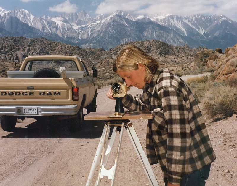
26. At the beginning of the 1930s, maps were given out for free in American gas stations. The estimated number of maps given to travellers was 8 billion. We now not necessarily require a printed map since, by 2012, Google Maps Street View had covered around 5 million miles of road.
27. There are still paper maps, and the current world’s most giant atlas is the Earth Platinum. The book was published in 2012, six feet tall and four and a half feet wide and weighed approximately 440 pounds. There are only thirty-one copies available, making them among the most expensive books in history.
28. In 1891, a group of countries came up with International Map to create a worldwide standard series of maps. The initiative went on till the 1980s where there were external interferences such as World Wars and Great Depression.
29. Sandy Island had been on maps for an extended period, which was supposed to have been discovered by Captain James Cook and was a well-known place that appeared on Google Earth. However, in 2012 a group of marine scientists could not access the island only to discover that it does not exist. It means that regardless of how advanced we could be, maps will always have inaccuracies.
30. In 2012, China printed a map on her passports which ended up causing problems since she included various disputed territories such as Taiwan and Islands, which are discussed with India. When individuals with Chinese visas arrived in India, they would receive a new version of the map stamped on their passports.
31. Maps are not only related to geography since there are other types of maps. Maps can occur in the scientific world in DNA mapping, computer network topology mapping and brain mapping.
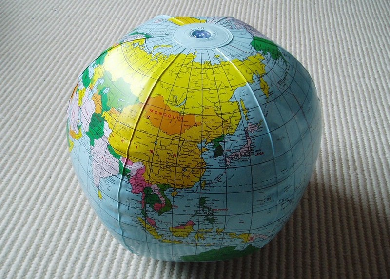
32. Like maps, the globe is modelled from the Earth; people can create spheres according to the moon and other planets and always assume a spherical form.
33. The term globe was derived from the Latin word globus, which means a sphere or round mass. Hence mountains, valleys, hills and other natural features on the Earth’s surface are usually elaborated in the globe as forms of relief.
34. The history of maps is traced back to ancient times. The phrase Mappa Mundi was the origin of the world map, taken from Medieval Latin words. Mappa has the meaning of cloth, and Mundi is the world.
35. You can have your world-class map collection. A savvy map collector can purchase maps and atlases as well as those found in the world’s leading libraries and museums. The items in the gallery are as good as those in museums.
. . . continue reading on the next page
