Last updated on November 18th, 2022
36. Arkansas
Highest Point: Mount Magazine at 2,753 ft (839 m)
The highest peak of the Boston Mountains in Arkansas is Turner Ward Knob. The Boston Mountain range is Arkansas’s portion of the Ozark range.
Lowest Point: Ouachita River at Louisiana border at 55 ft (17 m)
The lowest point in Arkansas is 17 feet at the Ouachita River where it runs into Louisiana.

37. Maine
Highest Point: Mount Katahdin at 5,270 ft (1606.4 m)
The highest peak in Maine is Katahdin, in the Longfellow mountain range. Maine shares this range with New Hampshire. Part of the Appalachian range also runs through Maine.
Lowest Point: Atlantic Ocean at Sea level
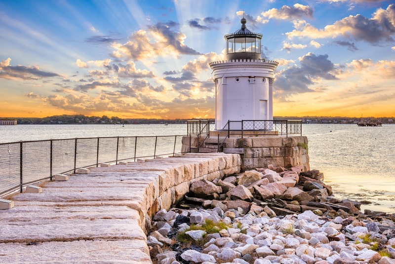
The lowest point in Maine is along the coast of the Atlantic and is known for its booming fishing industry, including lobster fishing.
38. Georgia
Highest Point: Brasstown Bald at 4,784 ft (1,458 m)
In Georgia the highest peak is Brasstown Bald, part of the Southernmost Blue Ridge range. On a clear day, the tall buildings of Atlanta may be viewed from the peak of this mountain.
Lowest Point: Atlantic Ocean at Sea level
The lowest point in Georgia is along the Eastern coast of the Atlantic Ocean at sea level, such as in Savannah.
39. Illinois
Highest Point: Charles Mound at 1,235 ft (376.4 m)
The highest peak in Illinois is Charles Mound at over 1,200 feet. This area is part of the Driftless Area, which is a part of the Midwest not shaped by glaciers.
Lowest Point: Confluence of Mississippi River and Ohio River at 280 ft (85 m)
The lowest area in Illinois is Fort Defiance, at 279 feet. It is located at the Southernmost part of the state and borders the Ohio and Mississippi Rivers.
40. Massachusetts
Highest Point: Mount Greylock at 3,489 ft (1063.4 m)
The highest peak in Massachusetts is Mt. Greylock, at 3,491 feet. Visitors can drive to the peak in the warmer months but the road is closed during Winter months. The name Greylock is from that of an early 18th-century Waranoke Indian chief.
Lowest Point: Atlantic Ocean at Sea level
The lowest point in Massachusetts is along the Atlantic Ocean. The jagged coast is indented inward from Rhode Island.

41. Alabama
Highest Point: Cheaha Mountain at 2,413 feet.
The name means “high place” in the native Creek Indian language. Developed as a state park, the summit has a wide campground and a hotel for longer stays. Climbing and rappelling are common in the area.
Lowest Point: Gulf of Mexico at sea level.
The gulf coast of Alabama features sugar-white sandy beaches. Popular water activities here include parasailing, dolphin cruises, fishing, and diving. There is also a zoo, a museum, and nature trails.
42. Connecticut
Highest Point: Mount Frissell at 2,380 feet.
This is not the summit but the southwest shoulder along the border with Massachusetts. Meanwhile, Bear Mountain has the highest mountain summit in Connecticut but it is only 2,316 feet above sea level.
Lowest Point: Long Island Sound at sea level.
This coastline stretches up to New York with a length of over 600 miles. The watershed is considered as the state’s most important natural resource with countless species of birds and other animals.
43. South Carolina
Highest Point: Sassafras Mountain at 3,560 feet.
This is a popular hiking destination that does not require any permit. Parking is also free at the bottom. From the summit, one can see the taller 6,000-foot peaks of North Carolina.
Lowest Point: Atlantic Ocean at sea level.
The coastal region of South Carolina stretches of 2,876 miles. These are filled with a variety of vistas from fishing villages to sandy beaches to luxury resorts.
44. Maryland
Highest Point: Hoye Crest at 3,360 feet.
The crest is located along the summit of Backbone Mountain. There is no direct path from Maryland itself. In order to reach it, a hiker will have to begin the journey from the neighboring state of West Virginia.
Lowest Point: Atlantic Ocean at sea level.
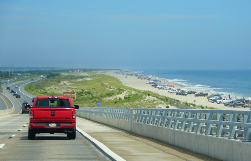
Coastal Maryland has every type of accommodation for visitors from campgrounds to highly developed resort hotels. Aside from the beaches, people come here for the amusement parks, nature trails, and fresh seafood.
45. Mississippi
Highest Point: Woodall Mountain at 807 feet.
Erosion has flattened much of the terrain in the state so this small bump is considered the highest point. It is the site of a bloody battle in the US Civil War where the Union won over the Confederates.
Lowest Point: Gulf of Mexico at sea level.
Coastal Mississippi has 62 miles of shoreline. Among its attractions is the home of Jefferson Davies, the president of the Confederate States from the year 1861 to 1865.

46. New Jersey
Highest Point: High Point at 1,803 feet.
The state park has a monument to mark the High Point. Hikers can enjoy various trails to get to the top and see fantastic panoramic views filled with farmlands, forests, valleys, and hills.
Lowest Point: Atlantic Ocean at sea level.
Popularly known as the Jersey Shore with 141 miles of oceanfront. The southern end features Cape May which is considered as America’s original seaside resort with visitors flocking since the mid-18th century.
47. Rhode Island
Highest Point: Jerimoth Hill at 812 feet.
This was once considered as the most restrictive high point in all the states because the private owners provided access only 5 times a year. Ownership has since shifted to the more welcoming Brown University.
Lowest Point: Atlantic Ocean at sea level.
Rhode Island has 400 miles of coastline. Its Newport Region is known for the mansions built by the wealthiest industrialists during the Victorian Age such as the Vanderbilts.
48. Louisiana
Highest Point: Driskill Mountain at 535 feet.
This is the third lowest point of all the states. The name comes from the Grancer Driskill who owned 960 acres in the area back in the 1800s. Many of his descendants continue to live near the mountain.
Lowest Point: New Orleans at 8 feet below sea level.
The place is known for its colorful Mardi Gras celebrations wherein residents wear masks and parade around the city. How it started is unknown but the first record dates back as far as 1699.
49. Florida
Highest Point: Britton Hill at 345 feet.
This is the lowest state highpoint in the US, just 50 feet above farmland amidst a small forested area. Most of Florida is in the Eastern timezone but Britton Hill is so far west that it has crossed to the Central timezone.
Lowest Point: Atlantic Ocean at sea level.
Florida’s Atlantic Coast provides scenic views with secluded areas and ocean breeze. It is called the “First Coast” because this is the first area in the state to fall under the colonizers.

50. Delaware
Highest Point: Ebright Road state line at 448 feet.
A debate has raged for a while about Delaware‘s highest point. A geological survey found that Ebright Road is about 2 feet higher than the main contender Centreville.
Lowest Point: Atlantic Ocean at sea level.
The Delaware coast has 6 unique beach towns. Lewes is where the first Europeans settled in the state back in 1631. It is named after a town in East Sussex, England.
The elevation changes drastically across the Eastern United States and the Midwest. There are valleys and mountain peaks in several states, including Kentucky, North Carolina, Tennessee, Maine, and Georgia. The Ozark range can be visited in Missouri and Arkansas. The Appalachian range extends from Maine to Northern Georgia. The Blue Ridge mountains run through Virginia and North Carolina. The Smoky mountains begin in Southwest Virginia and extend into Tennessee.
The low and high points of the Eastern and Midwest states provide plenty of sights of interest for visitors. Travelers can choose points along the rivers or choose to visit the mountains, where they can do some sight seeing, camping, and hiking along well known trails. Some mountains do not have roads to their summits so plan on hiking. Other mountains have lookout points and roads that close during inclement weather so it’s best to check before visiting.
