Last Updated on September 4, 2022 by Editorial Staff
The Geography of the Pacific Ocean
1. Over 1.1 billion years ago, there was a supercontinent called Rodinia that included the lands we now know as Australia, Antarctica, the Americas, South China, Greenland, Siberia, and West Africa. It broke up after 350 million years which led to the formation of the early Pacific Ocean.
2. Land masses and oceans shift continuously because of plate tectonics. According to scientists, the Pacific Ocean shrinks annually by 0.52 square kilometers. Meanwhile, the Atlantic Ocean is increasing in size each year.
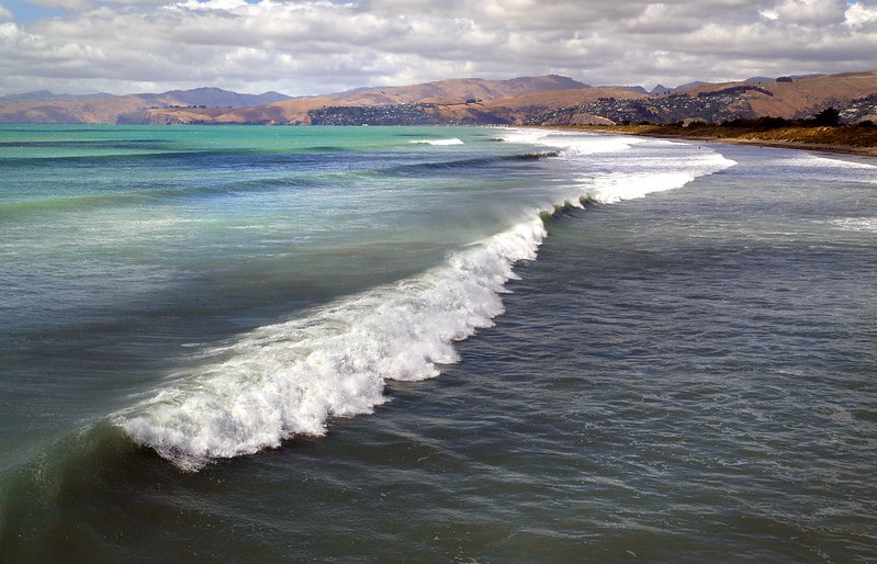
3. The Pacific Ocean is the world’s largest body of water. Its borders include the Arctic Ocean to the north and the continent of Antarctica to the south. It is bound by Asia and Australia to the west and the Americas to the east.
4. In reality, all of the world’s oceans are connected with each section given its own name only for convenience. The Pacific Ocean is connected to the Indian Ocean via the Straits of Malacca in the west and to the Atlantic Ocean via the Straits of Magellan in the east.
5. The Pacific Ocean covers about a third of the Earth’s surface at 165 million square kilometers. It is even bigger than all of the world’s land area combined which is only 148 million square kilometers.
6. Its widest section goes from Indonesia to Columbia which is around 19,800 km. This length is roughly five times longer than the moon’s diameter and almost twice the circumference.
7. The ocean’s floor has an average depth of 4,270 meters. This is nearly the height of the famous Matterhorn in the Alps. The deepest part of the Pacific is in the Mariana Trench. At 10,928m below the surface, it is also the deepest place on Earth. Mount Everest pales in comparison at only 8,850m high.
8. Scientists estimate the total water volume in the Pacific to be about 714,000,000 cubic km. That’s about half of the world’s ocean water. The Atlantic Ocean has far less volume at only 310,000,000 cubic km.
9. There are over 25,000 islands in the Pacific Ocean with most of these found below the Equator. The biggest of these is New Guinea which also happens to be the world’s second largest island. The crown is held by Greenland which is in the North Atlantic Ocean.
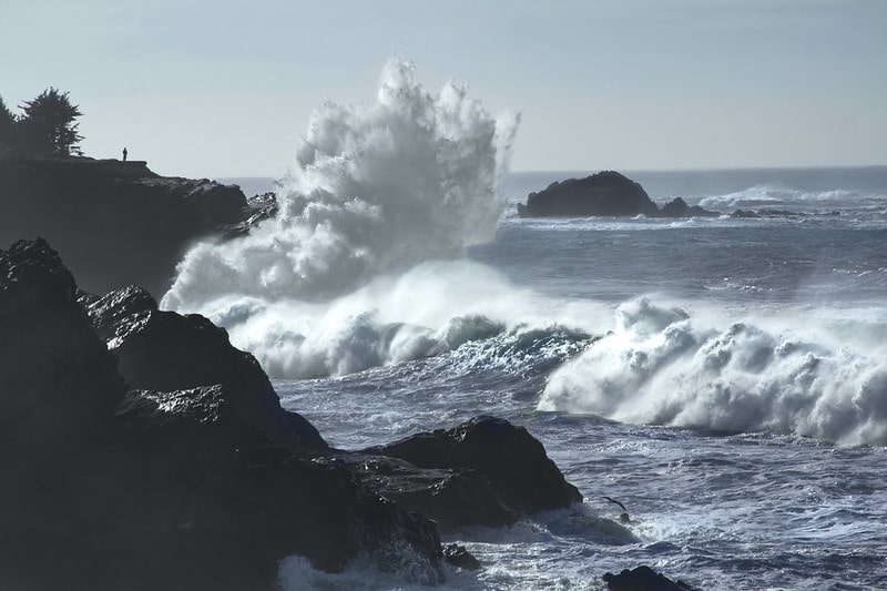
10. The aptly named Ring of Fire is a region with hundreds of active volcanoes and frequent earthquakes. It happens to coincide with the rim of the Pacific Ocean and stretches for 40,000 kilometers. This includes the eastern coasts of the Americas, Japan, the Philippines, Indonesia, and many islands of the western Pacific Ocean.
11. Surface water temperature varies depending on where you are in the Pacific. The coldest sections are near the Antarctic where it can go down to -1.4 degrees Celsius. This also happens to be the freezing point of sea water. Sail to the equator and you will get around 30 degrees Celsius.
12. The ocean is comprised of salt water that also changes in salinity depending on where you are. It tends to be saltier in the southeastern region than around the equator. Experts point to the high amounts of rain across the center of the ocean as the main reason for the lower salinity.
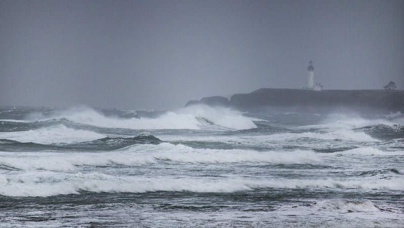
13. Scientists say that sea level has been rising at a rate of 10mm per year over the last 20 years. This has resulted in the disappearance of some small uninhabited Pacific islands around the Solomon Archipelago. Bigger inhabited islands are also losing their coastal lands and forcing people to move away.
The king tides occur when the Earth, Moon and Sun are aligned at perigee and perihelion, resulting in the largest tidal range seen over the course of a year. So, tides are enhanced when the Earth is closest to the Sun around January of each year. They are reduced when it is furthest from the Sun, around July. Image credit – Bonnie Moreland
Human Discoveries in the Pacific Ocean
14. The first human settlers in the Pacific came from Africa between 60,000 and 70,000 years ago. They went as far as New Guinea, the Philippines, and Australia using the ancient land bridges that have since gone under water.
15. It took time for humans to develop the earliest sailing technologies. The first seaborne migration in the Pacific happened between 3000-1500 BCE when people from Taiwan went to the Philippines. Later on, they also explored Indonesia, Malaysia, Palau, Marianas Islands, and Solomon Islands. Some even sailed as far as Madagascar in Africa.
16. Europeans did not see the Pacific until the 16th century. In 1512, Portuguese explorers Antonio de Abreu and Francisco Serrao entered via the western side en route to Moluccas in Indonesia. In 1513, Vasco Nunez de Balboa approached from the east and called it Mar del Sur.
17. In 1520, Ferdinand Magellan and his Spanish crew became the first recorded group to cross the Pacific as part of their historic circumnavigation of the world. Magellan is responsible for naming the waters Mar Pacifico because he was lucky enough to sail in calm weather.
18. Spain eventually colonized the Philippines and other territories in the Pacific. They established one of the longest trading routes in history called the Manila Galleons. The ships sailed to Acapulco via the northern side of Pacific Ocean twice a year. They carried spices, porcelain, and other luxury goods.
19. From the 16th to the 20th centuries, imperialist countries competed for power in the Pacific. These included Spain, Portugal, Britain, France, Japan, and the United States. Most of their colonies have since declared independence.
20. Early maps reflect the era’s level of knowledge about the Pacific. In 1507, Martin Waldseemuller was the first to illustrate that the Americas were between two oceans. In 1529, Diogo Ribeiro was the first to show the Pacific’s proper size. In 1589, Abraham Ortelius came up with the first printed map that was dedicated to the Pacific Ocean.
Modern Scientific Explorations
21. The English biologist Charles Darwin boarded the survey ship HMS Beagle in the 1830s. It sailed around the world including the Galapagos Islands in the Pacific where he made many of the observations that led to the theory of evolution.
22. By the 1870s, Darwin’s theories were already considered as fact by the greater scientific community. More scientific explorations were launched including the first global marine research of the HMS Challenger. The lowest part of the Mariana Trench, Challenger Deep, was named after the ship.
23. Around the same time, the former warship USS Tuscarora was converted into a survey ship that was ordered to take soundings of the ocean floor in the Pacific. It discovered the depths of the Aleutian Trench and the Japan Trench.
24. In 1960, Don Walsh and Jacques Piccard became the first humans to dive into the bottom of the Mariana Trench aboard the bathyscape Trieste. Jacques is the son of the vessel’s designer Auguste Piccard.
25. In 1977, scientists made the first direct observations of hydrothermal vents around the Galapagos Rift. These are cracks on the seafloor near active volcanoes that discharge hot water. Scientists also found entire ecosystems that thrive in these extreme environments. Organisms such as shrimp, clams, and giant tube worms feed on bacteria and archaea.

26. In 2020, Walsh’s son Kelly also made the dive at the age of 52, 60 years after the initial journey. His group used a 12-ton two-passenger submersible called Limiting Factor to survey the depths and its inhabitants.
27. Japanese scientists have revived microbes that have been around for over 100,000,000 years. These were found dormant in the South Pacific seabed in a low nutrient environment. After incubation, the tiny organisms started to consume food and multiply. Lead scientist Yuki Morono said that the results demonstrate that the concept of a lifespan may not apply to simple living things.
28. Economically motivated explorations are plenty but mineral extraction is difficult to perform in the Pacific Ocean because of its depths. In shallower areas, companies are able to tap into reserves of petroleum and natural gas. Pearls are also obtained in great quantities although there are far less of them now. Fishing is also a massive industry but uncontrolled activities are destroying ecosystems.
Nuclear Waste in the Pacific
29. The Pacific is a common crash site for satellites. Among those that have fallen to the ocean are the Fobos-Grunt, the Mars 96, and the Upper Atmosphere Research Satellite. Re-entry into the Earth’s tends to burn up much of these objects but some debris can remain. These may contain toxic fuel such as plutonium, hydrazine, and nitrogen tetroxide.
30. From 1946 to 1958, the US conducted nuclear testing at the Pacific Ocean for their weapons development program. Many of these occurred in the Marshall Islands and resulted in considerable nuclear fallout. The Radiation Exposure Compensation Act of 1990 provided $759 million in compensation to the affected residents.
31. There are also lost nuclear weapons in the ocean due to accidents. For example, a US Navy A-4 attack aircraft fell off the side of a carrier during training in 1965 on the waters near Japan. After 24 years, it was revealed that the aircraft was carrying a one megaton hydrogen bomb.
32. In 2011, a strong earthquake and tsunami led to the Fukushima nuclear disaster. Loss of cooling capacity resulted in nuclear meltdowns, hydrogen explosion, and water contamination. Over 154,000 residents were evacuated to safety. About 80% of the radioactive materials discharged into the atmosphere made their way to the Pacific Ocean.
33. By 2021, the Fukushima nuclear plant has amassed 1.25 million tons of waste water. These are stored inside tanks on the property and space is running out. The Japanese government approved the dumping of this water into the Pacific Ocean over a 30-year period.
Pollution in the Pacific Ocean
34. The Great Pacific Garbage Patch can be found between California and Japan. It covers an area that is three times the size of France and growing. Most items small bits of plastic that came from various countries and gathered there due to swirling currents.
35. The UN Ocean Conference estimates that the weight of plastics will be greater than the weight of fishes in the oceans by 2050. These plastics are killing marine life by trapping them in ghost nets, blocking their digestive tracts, and interfering with their respiration. Some of them are washing up dead on beaches.
36. In 2019, an organization called Ocean Cleanup has poured $32 million into mitigating the Great Pacific Garbage Patch. They are using a giant passive floating trash collector that is 2,000 feet long. It is equipped with cameras, lights, and other anti-collision measures. The collector is periodically emptied with the garbage taken to California for processing.
37. Others, such as the California Coastal Commission, insist that beach cleanup is the better approach as it prevents trash from washing away into the oceans. Cleanups collect 1 million pounds of trash annually from California beaches and a total of over 20 million pounds of trash from 100 countries.
38. Dr. Kathy Sullivan, a former astronaut, joined an expedition of the Mariana Trench in 2020. She said part of the group’s discoveries is the presence of rubbish in the deepest parts of the ocean. These include fiber optic cables and fizzy drink cans.
39. Some of the ocean pollutants are harsh chemicals that can deplete oxygen in the water. This has a negative impact on marine life respiration, especially on large fishes such as sharks, marlin, and tuna. It can lead to hypoxia and dead zones.
40. When fishes, crabs, shrimps, and other marine life ingest plastics, the trash affects the food chain including top ocean predators and humans who consume them. A common compound found in plastics called BPA is known to reduce male fertility and increase the risk of breast cancer.
. . . continue reading on the next page